

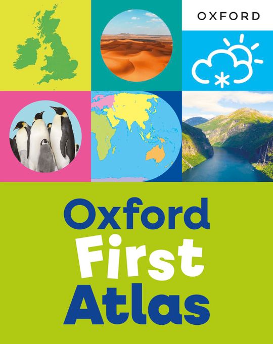
Oxford First Atlas (eBook)
US$ 10.49
The publisher has enabled DRM protection, which means that you need to use the BookFusion iOS, Android or Web app to read this eBook. This eBook cannot be used outside of the BookFusion platform.
Description
Contents
Reviews
Language
English
ISBN
9781382076456
Contents
What is an atlas?
Meet Henny
My home
My road
Village
Town
City
The British Isles
The United Kingdom
Seas around the United Kingdom
Map skills for young geographers
• North, South, East, West
• Map keys
• Grid references
• Landmarks
Continents
Countries of the world
Europe
Asia
Africa
North America
South America
Oceania
Antarctica
North Pole and South Pole
The equator
Oceans
• Let’s dive into the oceans
The Earth
Weather in the British Isles
Weather around the world
Mountains in the British Isles
Mountains around the world
Rivers in the British Isles
The coast of the British Isles
Environments in the British Isles
Environments around the world
Animals around the world
Flags of the world
Words for young geographers
Index
Loading...